
English
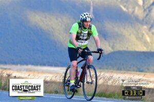
Raising funds for the rainforest from Coast to Coast
Guest blog by RFUK supporter David Morgan Having run five marathons to raise money for the Rainforest Foundation UK over the last 15 years, I wanted to tackle a bigger challenge to celebrate turning 50. So at the beginning of February a friend and I competed in the Kathmandu Coast-to-Coast race, cycling, running and kayaking … Read more

Running for the rainforest: Tips from RFUK’s 2018 London Marathon team
The Virgin London Marathon is almost here. On April 28th, runners will come from around the world to compete in the challenge of a lifetime. The Rainforest Foundation UK is proud to have 8 runners fundraising for us this year. To help them on their journey, we asked some of our previous runners for their … Read more

Our forest, our land: Unleashing the potential of community forests in DR Congo
A new short film on our community forests project in the Democratic Republic of Congo (DRC). The Rainforest Foundation UK and our local partners have been working with communities to help them obtain legal rights to manage their own forests.
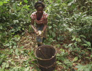
Unleashing the potential of community forests in DR Congo
Today, the Rainforest Foundation UK (RFUK) has launched a new short film on its community forests project in the Democratic Republic of Congo (DRC). The film features several communities, the first supported by RFUK and its partners, as they gain legal rights to their forests and are formally recognised as the managers of their local … Read more

Participatory Mapping and Community Forests in the Democratic Republic of Congo
If well implemented, new community forest legislation in the DRC offers an unprecedented opportunity for communities to obtain legal rights to forests they have inhabited for generations and to improve their livelihoods. However, for community forests to deliver equitable and sustainable outcomes there is a need to ensure that they are developed by the communities themselves, … Read more

Securing forests from the bottom up: How participatory maps can support community forests in the Congo Basin
Members of Ilinga community, in DRC’s Equateur Province, celebrate as their community forest is officially granted in September 2018. Ilinga is one of several communities supported by the Rainforest Foundation UK and its local partners to map their forests and obtain a community forest. For years, there has been a growing consensus that securing land … Read more
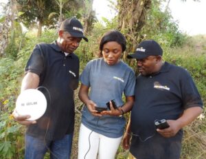
RFUK’s Real-time Monitoring project expands to new communities in Africa
RFUK’s ForestLink system is active in three countries in Africa and will soon expand to four. From left to right: Ghana, Cameroon, Republic of Congo, Democratic Republic of Congo. Upwards of 100 communities across Africa will benefit from the Rainforest Foundation UK’s Real-time Monitoring (RTM) project, thanks to new support from the UK Department for … Read more
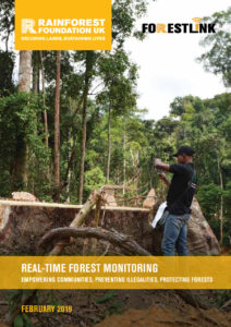
Real-time Forest Monitoring: Empowering Communities, Preventing Illegalities, Protecting Forests
Since its creation, ForestLink has been successfully deployed as part of RFUK’s Real-Time Forest Monitoring (RTM) initiative in Cameroon, the Democratic Republic of Congo (DRC), Ghana and Peru. By engaging forest and indigenous peoples in the fight against illegal logging and deforestation, RTM seeks to strengthen local involvement in forest management.
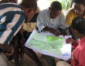
People, parks and social justice: How community maps can help make conservation better
By Maud Salber, Policy Advisor, RFUK The Tumba Lediima Reserve in the Democratic Republic of Congo (DRC) was established in 2006, mainly to protect the local population of bonobos. Remarkably, when Tumba Lediima’s borders were drawn, nobody had thought it worthwhile to properly documenting who was already living there, and how these people would be … Read more
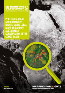
Protected Areas and Community Rights: Using Local Maps to Support Sustainable Conservation in the Congo Basin
The best conservation projects start with people. Yet protected areas in the Congo Basin continue to be established and managed with poor consideration for local communities’ land and resource rights, fostering conflicts and human rights abuses. A lot of these toxic situations could be avoided if thorough participatory community mapping data, such as collected through MappingForRights, … Read more
 English
  French
  Spanish