Republic of Congo

engagement-icon

Population

people
infograph-country-size

Country size

hectares
mapping-icon

Forest cover

hectares

overview

Tropical forests cover about two-thirds of the Republic of Congo and harbour a wide array of fauna and flora. These forests are also home to hundreds of local communities including several indigenous peoples, many of whom maintain a semi-nomadic existence.

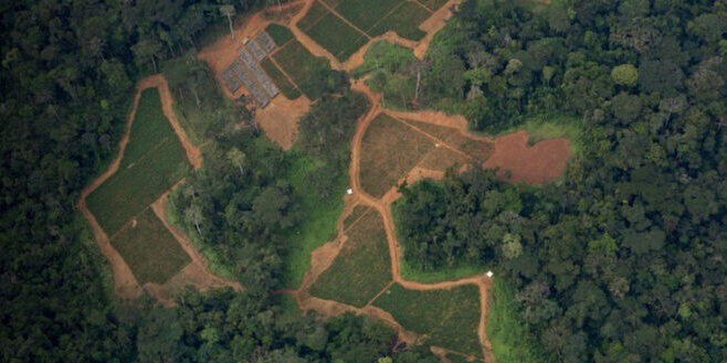
Around three-quarters of the country’s forest is allocated as logging concessions, a major driver of forest degradation that has brought few lasting local benefits. Agribusiness, planned oil and infrastructure development are increasing pressures, particularly with several permits overlapping the Cuvette Centrale peatlands - one of the largest carbon syncs on the planet. Unfortunately, conservation efforts through strictly protected areas and carbon offset projects have often increased the marginalisation forest peoples.

Despite these challenges, legal openings for promoting their rights do exist through a 2011 indigenous peoples' law, recent community forest legislation as well as land-use planning reforms, even if implementation is slow and hampered by a lack of geographical space. As in other countries in the Congo Basin, environmental and human rights defenders face increasing threats and are forced to operate in a political landscape that provides very little space for civic participation.

Our Impacts

  • RFUK and our local partners played a leading role in the Republic of Congo adopting a landmark indigenous peoples' law in 2011 - the first of its kind in Africa. 
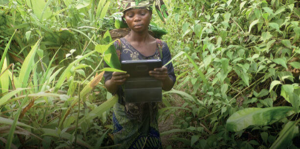
  • Since 2019, we have been partnering with local organisation CJJ to support communities to use ForestLink to document and denounce illegal activities in their lands, as well as to demand better compensation from logging companies. 
Screenshot 2022-05-30 173035

Projects & Campaigns

ForestLink

Real-time community-based monitoring is a tool that connects local people with national law enforcement in an effort to stop illegal logging and deforestation.

Mapping for Rights

Mapping For Rights is an award-winning, interactive community map project for the Congo Basin, which started in November 2011 and is ongoing.

Conservation & Human Rights

The traditional ‘fortress conservation’ approach of the west is premised on the dangerous yet persistent idea that local people need to be separated from nature to keep it “pristine” (sometimes for the benefit of foreign tourists). This does not only drive human rights violations but is also ineffective as it ignores and alienates the very people who have shaped and stewarded those landscapes for millennia.

Agribusiness

Commercial agriculture projects have been associated with forceful displacement from their ancestral lands, protracted land conflicts, loss of livelihoods with little or no compensation, disregard for their free, prior and informed consent (FPIC), as well as water and soil pollution.

Latest publications

Three Basins Summit Statement
thumbnail of REDD+_Deconstructed_Final_Eng

Carbon Offsetting and REDD+ Deconstructed

thumbnail of Congo in the Crosshairs Report EN

Congo in the Crosshairs: Oil and Gas Expansion Threats to Climate, Forests, and Communities

Protected Areas and Indigenous Rights: A submission to the UN Special Rapporteur