
MappingForRights

Participatory mapping: bridging the gap between communities & decision-makers in Nguti
At a four-day workshop in Nguti sub-division, Cameroon, representatives from over 50 local communities presented the results of their participation in MappingForRights, RFUK’s community mapping and monitoring initiative. Funded by the UK Department for International Development (DFID) and implemented in Cameroon with local organisations Ajemalibu Self Help (AJESH) and Forêts et Développment Rural (FODER), MappingForRights supports remote … Read more
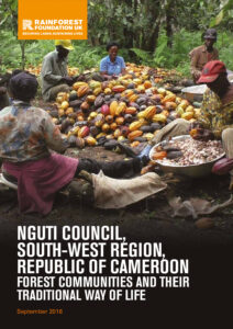
Nguti Council, South West Region of the Republic of Cameroon
This leaflet presents information on the reality and traditional way of life of local communities in the Council of Nguti, Kupe-Muanenguba Division, in the South West Region of Cameroon.

RFUK’s ground-breaking mapping project wins prestigious UN award
MappingForRights, RFUK’s community mapping and monitoring initiative, has won a prestigious United Nations climate change award, it was announced today (Thursday 29th September). The project, led by us and our local partners in Africa’s Congo Basin and the Peruvian Amazon regions, has been awarded a UNFCCC Momentum for Change Award for helping people and the planet by … Read more

Banunu Bobangi Sector, DRC: An Atlas of Traditional Community Life
This community ‘atlas’ provides information on the realities and traditional livelihoods of the communities of Banunu-Bobangi sector, in the territory of Lukolela, Equateur province, in the Democratic Republic of Congo.
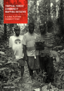
Tropical Forest Community Mapping Initiative: A Concept Note
Harnessing participatory mapping technologies and making data accessible is a powerful tool for scaling up land rights and helping bridge the gap between remote forest communities and forest policy development. This briefing explores the feasibility of establishing a pan-tropical online interactive mapping database.

MPAMA Sector, DRC: An Atlas of Traditional Community Life
This community ‘atlas’ provides information on the realities and traditional livelihoods of the communities of Mpama sector, in the territory of Lukolela, Equateur province, in the Democratic Republic of Congo.

The MappingForRights Methodology
MappingForRights is a new approach to participatory (or ‘community’) mapping. It has been developed by RFUK on the back of 15 years’ experience of supporting indigenous and traditional communities of the Congo Basin rainforest in their efforts to fulfil their rights to land and livelihood. The approach explained in this reference guide is the result … Read more

Mapping and Forest Governance in the Congo Basin
This leaflet provides information about RFUK’s Mapping and Forest Governance (MFG) Programme, designed to contribute to poverty reduction, sustainable management and improved governance of tropical rainforests in the Congo Basin.
RFUK embarks upon a new era in its Mapping and Forest Governance in the Congo basin
RFUK embarks upon a new era in its Mapping and Forest Governance in the Congo Basin The Rainforest Foundation UK (RFUK) alongside its local NGO partner FODER (Forêts et Développement Rurale) has embarked upon a new phase in the Mapping and Forest Governance in the Congo Basin by extending project activities into Cameroon. This project … Read more
Extension of Participatory mapping project in Ingende, Province of Equateur Democratic Republic of Congo
Extension of Participatory mapping project in Ingende, Province of Equateur Democratic Republic of Congo (DRC) The Rainforest Foundation (RFUK) and its local NGO partner, the Groupe D’action pour Sauver L’Homme et son Environnement (GASHE) will expand RFUK’s current participatory mapping project to the Ingende Territory which will involve up to 200 local and indigenous communities. … Read more
 English
  French
  Spanish